

UN adopts equal-area map resolution to replace Mercator
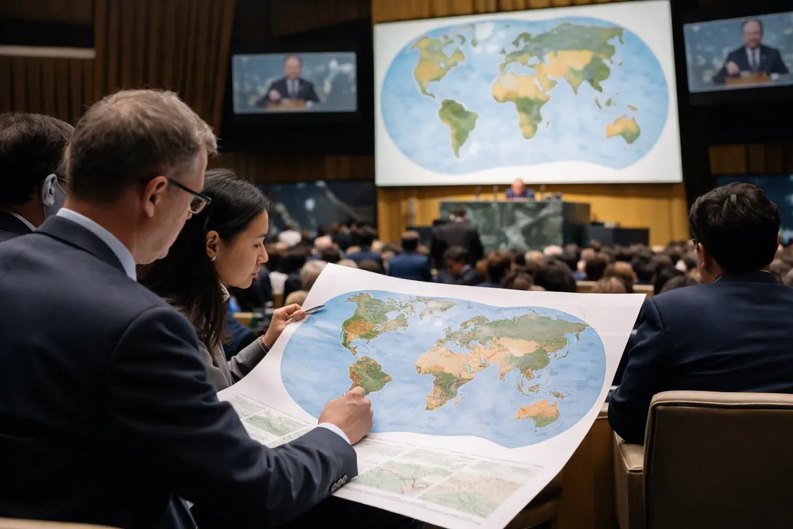
NEW YORK — The UN equal-area map resolution, adopted on Sept. 4, saw the General Assembly vote 164‑1‑6 to endorse the use of equal‑area map projections, such as the Equal Earth projection, for government, educational and digital‑platform cartography. The resolution, the first multilateral effort to address the visual distortion of Africa on world maps, calls on member states and private firms to adopt equal‑area maps for official and public‑facing purposes.
The move is framed as a step toward “cognitive justice,” seeking to counter the long‑standing “symbolic minimisation” of Africa that results from the Mercator projection’s exaggeration of high‑latitude landmasses and shrinking of equatorial regions. By encouraging a shift to equal‑area projections, the UN hopes to influence school textbooks, online map services, news graphics and advertising, changing how millions of people visualise geography, trade routes and cultural connections.
Togo’s foreign minister Robert Dussey, speaking for the African Union, introduced the resolution after a decade‑long “Africa No Filter” campaign that highlighted Mercator’s bias. The resolution does not ban Mercator, but it recommends that states and private companies replace it with equal‑area alternatives for official use. France announced hours before the vote that it would stop using Mercator in its official cartographic products, a step echoed by the European Union, which supported the resolution while affirming that political borders would remain unchanged.
The United States was the sole dissenting vote, describing the measure as part of a “radical ideological project” and objecting to language about reparations. Ukraine, which abstained, warned that some Equal Earth depictions could blur the status of disputed territories, a nuance absent from many media reports. The resolution is non‑binding; its impact will depend on national policy changes and the willingness of tech giants such as Google and Apple to modify default map layers.
If widely adopted, the shift could appear in classrooms as early as the next academic year, as ministries revise curricula to feature equal‑area maps. Publishers and newsrooms would need to update graphics, affecting billions of printed and digital impressions. For technology platforms, replacing Mercator—still the basis for many navigation tools—would require engineering work and user‑experience testing, but also offers an opportunity to align products with growing demand for more accurate representations.
African leaders anticipate that a more faithful visual portrayal could boost tourism, attract investment and reinforce cultural confidence. While some critics view the change as largely symbolic, research on visual cognition shows that map perception influences public understanding of a region’s economic potential and geopolitical relevance. A map that accurately reflects Africa’s landmass may therefore contribute to a subtle but measurable shift in discourse about the continent’s role in global affairs.
The resolution leaves implementation timelines open. The next steps include individual governments drafting guidelines for school textbooks and private‑sector stakeholders assessing the technical and commercial implications of adopting Equal Earth or similar projections. Observers will watch whether the UN’s call translates into routine map use or remains a symbolic gesture in the broader debate over de‑colonising knowledge tools.