

UN adopts Equal Earth projection, US lone dissent
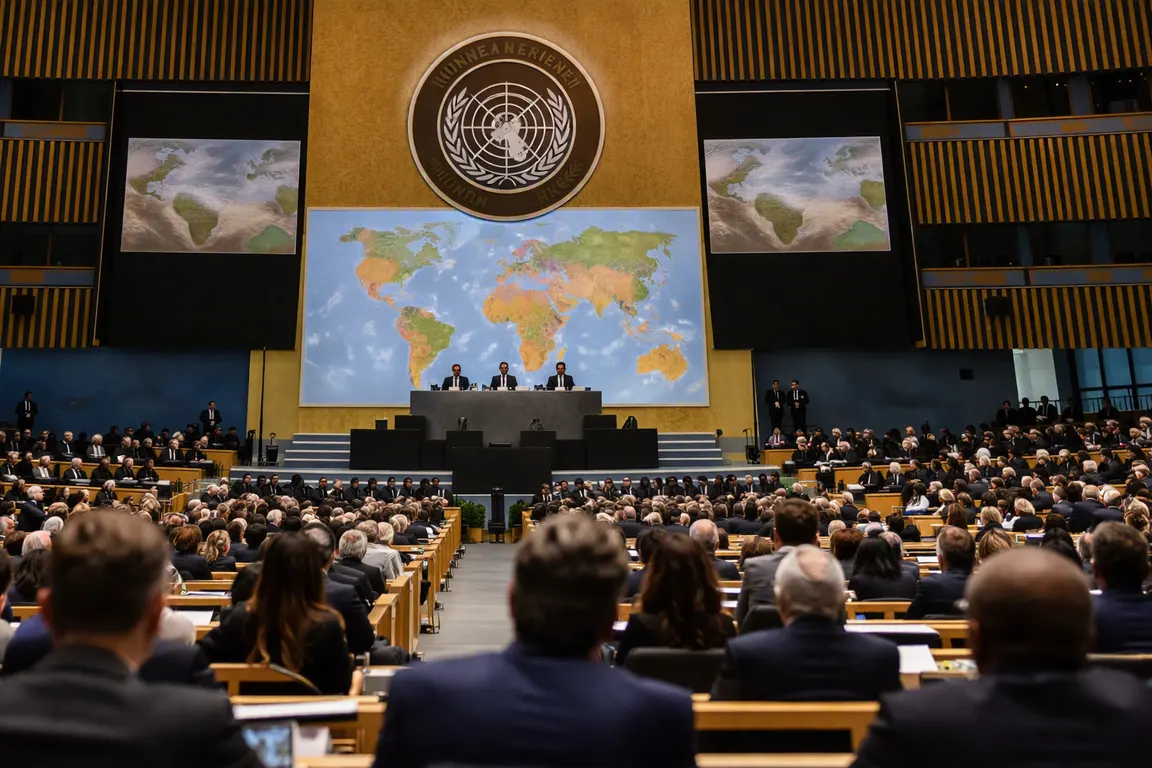
The United Nations General Assembly voted Tuesday to endorse the Equal Earth projection, an equal‑area map that shows continents in proportion to their actual land mass. The resolution passed with 192 votes in favor and a single vote against—the United States, which called the effort a “radical ideological project.”
The Equal Earth map replaces the Mercator projection, a 16th‑century navigation tool that inflates the size of Europe and the Americas while shrinking Africa, Latin America, South Asia and Oceania. Scholars say the distortion reinforces misconceptions about the relative importance of regions, especially Africa, which appears roughly the size of the United States on a Mercator map despite being about 30 percent larger than the United States, China and India combined.
The resolution, driven by an Africa‑led coalition of scholars, civil‑society groups and UNESCO partners, urges member states to transition official maps, textbooks and digital‑mapping platforms to the Equal Earth projection. It is non‑binding and contains no enforcement mechanism or deadline, but it signals a broad diplomatic consensus that the current default map perpetuates a visual bias.
Education officials in several African countries have already pledged to adopt the projection in upcoming textbook editions. In the United States, the Department of Education has made no policy change, and the lone dissenting vote may reflect broader concerns about UN standard‑setting rather than the merits of the map itself.
Mapping giants such as Google and Apple already offer alternative projections, but the Mercator view remains the default for most users. UN endorsement could encourage these firms to promote the Equal Earth option more prominently, particularly in educational settings.
Critics caution that switching a map will not automatically change entrenched perceptions. The resolution provides no funding for curriculum redesign or software updates, leaving costs to individual governments and publishers. Supporters argue that the symbolic shift is a necessary first step toward a more accurate visual representation of the planet.
The next phase will play out in national legislatures, school boards and procurement processes as they decide whether to adopt the new projection. Observers will watch how the United States’ objection influences future UN initiatives on educational standards and whether the lack of a binding timeline slows broader adoption. The debate underscores how a seemingly technical choice of map projection can intersect with cultural perception and international policy.