

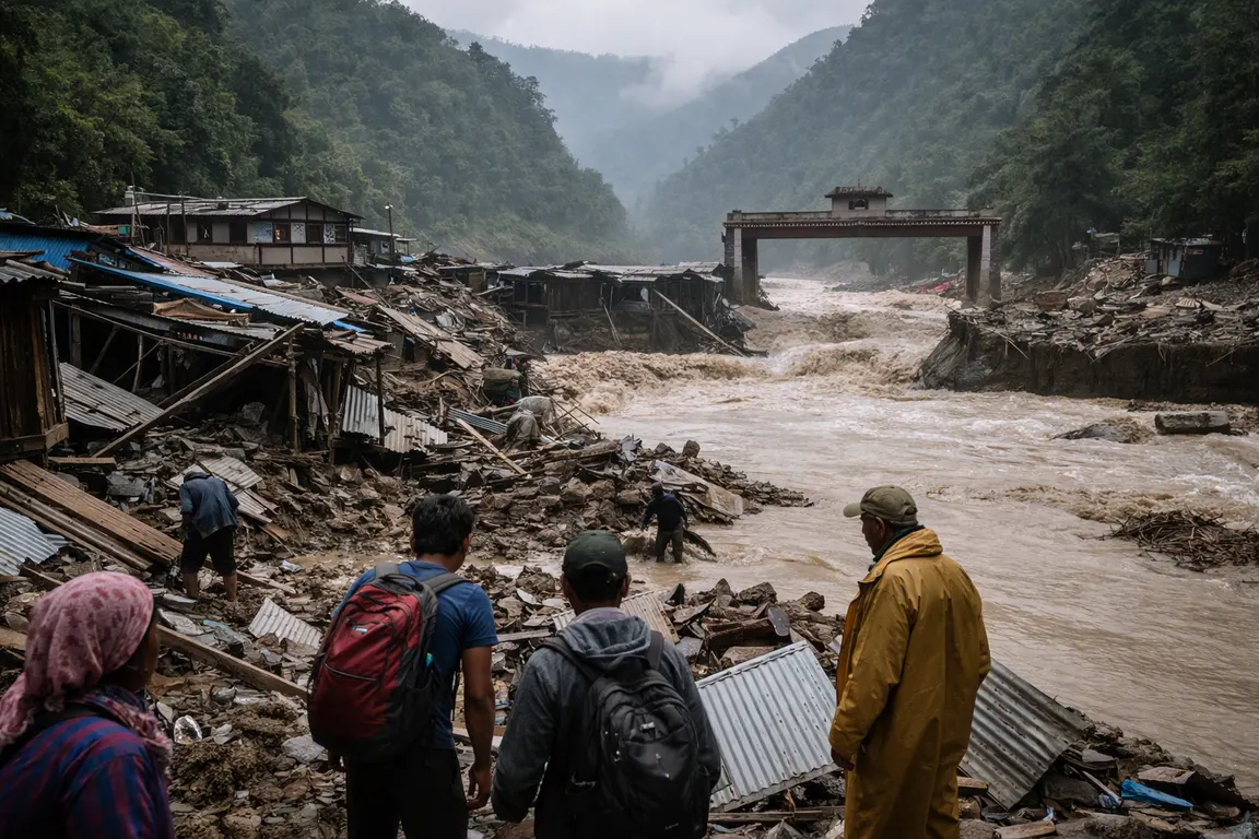
Flash floods triggered by heavy monsoon rains have swept through Nepal’s Trishuli River basin, destroying villages, bridges and the Nepal‑Tibet border crossing. Satellite images released by the BBC and Al Jazeera provide a stark before‑and‑after view of the damage and underscore an urgent humanitarian gap in a region already prone to extreme weather.
The Trishuli, a major tributary of the Gandaki, burst its banks as rain intensified on Saturday. Water surged downstream, eroding entire settlements and reducing the primary overland route to Tibet to a broken scar on the map. Pre‑event images show a network of rural hamlets, wooden footbridges and a functional border checkpoint. Within hours, post‑event composites reveal those same sites submerged or stripped of infrastructure, with the crossing completely washed away.
On‑the‑ground video collected by BBC Verify shows residents clinging to balconies as floodwaters rose, highlighting the lack of safe evacuation routes after the bridges collapsed. The destroyed bridges were the only reliable links for daily travel, market access and school attendance for surrounding communities. Their loss forces residents to walk longer, often unsafe routes, deepening isolation and hampering delivery of food, medicine and other essential supplies.
The border crossing that once facilitated trade between Nepal and China now lies in ruins, threatening regional supply chains that depend on the overland route. Traders report delays and rising costs as they consider longer alternatives.
No official casualty or displacement figures have been released, and the source articles note that numbers remain unconfirmed. Relief agencies have begun assessments, but the scale of destruction shown in the satellite data suggests that thousands of people could be temporarily displaced.
The absence of a clear governmental response highlights a policy gap. While Nepali authorities have historically emphasized flood‑risk mitigation, the current event demonstrates the need for faster infrastructure reinforcement and more robust early‑warning systems.
Experts say the high‑resolution images provide an objective baseline for planning. Engineers can use the data to prioritize which bridges and crossing points to rebuild first and to evaluate alternative routes for trade continuity.
Humanitarian teams are setting up temporary shelters and distributing aid, but unanswered questions remain: how many families have been displaced, how long it will take to restore the border crossing, and what concrete flood‑risk strategy the government will adopt. The visual record will likely become a reference point for future risk assessments and for holding officials accountable for rebuilding and resilience measures.