

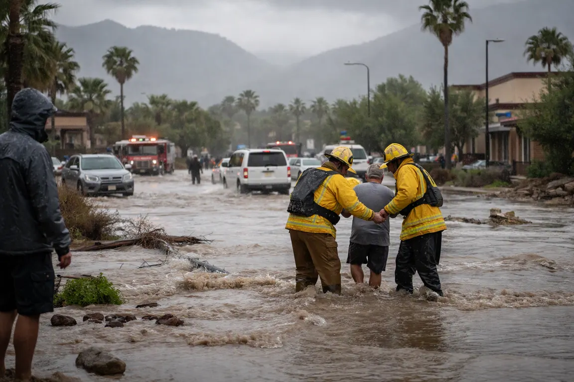
Within 48 hours of making landfall in Baja California Sur, the Hurricane Polo moisture plume is pushing a broad band of tropical moisture into the U.S. Southwest, prompting flash‑flood watches that cover 11 states and put more than 14 million people at risk.
The National Weather Service issued the watches on Sept. 29 after the storm weakened from a Category 2 hurricane to a Category 1 system and turned northeast across the Gulf of California. Private forecaster BAM Weather projects localized totals of 5‑8 inches in Texas and Oklahoma and 3‑6 inches from Nebraska into Iowa over the next seven days. On fire‑scarred, drought‑stricken terrain, that rain raises immediate concerns about flash flooding, road closures and strain on emergency responders.
Polo’s landfall on Sept. 28 brought sustained winds near 80 mph to Baja California Sur before the system weakened further over Sonora. As the moisture plume spreads, the Four Corners region and the Central Plains are expected to see the heaviest precipitation. The NWS flood watches list Arizona, New Mexico, Texas, Oklahoma, Nebraska, Iowa and five additional states, stretching from the desert Southwest to the Midwest. More than 14 million Americans live in the warned areas, underscoring the potential scale of disruption.
Local officials have already taken precautionary steps. In Texas, several Red River counties opened evacuation shelters and urged residents in low‑lying neighborhoods to move to higher ground. Oklahoma’s emergency‑management agency has pre‑positioned sandbags and is monitoring river‑stage forecasts. Nebraska and Iowa state crews are preparing to clear roadways that could be inundated by sudden runoff. Utilities warn of possible power outages as flood‑waters threaten substations and transmission lines.
Agricultural producers face a paradox. The rain could ease the severe drought that has gripped the Southwest for years, replenishing reservoirs and soil moisture, yet rapid flash floods threaten to wash away crops already stressed by dry conditions. Water‑resource managers are weighing the benefits of increased runoff against the risk of erosion and sediment buildup in reservoirs, a balance that will shape water‑allocation decisions in the coming months.
Insurance firms anticipate a surge in claims. Data from the National Association of Insurance Commissioners show flood‑related losses can climb sharply after a single severe event, especially when bridges, highways and rural roads are damaged. Damage to transportation corridors could also impede delivery of emergency supplies and delay recovery efforts.
No federal disaster declarations have been announced, and officials say the situation will be reassessed as the plume moves inland. The Independent World described the threat as “life‑threatening” flash floods, while other outlets highlighted the potential drought relief, reflecting a split in media emphasis.
The next critical step is the issuance of flash‑flood warnings, which the NWS is expected to release within the next 24‑48 hours as radar data confirms the intensity of rainfall bands. Residents in the warned counties should follow local advisories, avoid travel on flooded roads and stay informed through official channels. The event shows how a tropical system that has left Mexico can still shape weather and safety conditions far beyond its point of landfall, leaving communities to brace for both danger and relief.