

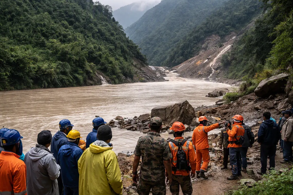
A landslide‑dammed Barrier lake Nepal China that burst its banks on Friday, Aug. 23, forced rescue teams in Nepal’s Taplejung and Sankhuwasabha districts to suspend operations as authorities warned of a possible second breach.
Formed after heavy monsoon rains and accelerated glacier melt destabilized a slope on the Nepal‑Tibet border in early June, the lake has more than doubled in surface area – from roughly 0.5 km² to over 1.2 km² in two weeks, according to satellite imagery. A repeat surge could inundate villages along the Arun River, damage downstream hydro‑electric projects and strain an already stretched emergency response.
The initial landslide on June 12 blocked the Arun River, creating the barrier lake that began overflowing on Aug. 23. Flash floods and mudslides that followed killed at least 12 people and displaced more than 1,500 residents, according to Nepal’s Disaster Management Authority. Rescue crews were pulling survivors from flooded valleys when the breach widened, prompting officials to order a halt while engineers assess the lake’s stability.
Local officials say the risk of a secondary breach is “high” because the natural dam – a mix of loose rock, ice and debris – continues to erode under rising water pressure. Warning signs include rising water levels, visible cracks in the dam face and new seepage channels, all tracked by Nepali engineers using drone surveys and ground‑based gauges.
The most vulnerable communities are the remote mountain villages of Chhipi, Chaurikharka and other settlements along the Arun’s upper reaches. These hamlets lack formal evacuation routes; the narrow mountain track that links to the main highway at Phungling was washed out during the initial flash flood. Humanitarian agencies, including the Red Cross, have set up temporary shelters in higher‑ground schools, but access remains limited by landslides and damaged bridges.
Cross‑border coordination remains uncertain. Chinese authorities in the adjacent Tibetan region have acknowledged the lake’s formation but have not announced an evacuation plan or joint monitoring effort. The lack of a formal mechanism hampers data sharing and a unified response, a gap noted by both Al Jazeera and the BBC.
The disruption ripples through the regional economy. Road closures have halted the flow of tea, timber and tourism supplies that feed eastern Nepal’s markets. Downstream, the Arun feeds the Kosi River basin, where several hydro‑electric plants operate; a sudden surge could force temporary shutdowns, threatening power generation for millions of Nepali households.
International aid groups stand ready, but narrow, debris‑blocked passes and the need to air‑lift supplies limit rapid deployment. Aid coordinators are reallocating resources from active rescue to flood‑mitigation measures such as sandbag barriers and early‑warning sirens in vulnerable villages.
Authorities plan a joint technical assessment of the lake’s stability within the next 48 hours, involving Nepali engineers, geologists and, if possible, Chinese counterparts. The outcome will determine whether controlled drainage can be attempted or if a broader evacuation is required.
The situation underscores a growing challenge: as climate‑induced glacial melt accelerates across the Himalayas, barrier‑lake formation may become more frequent. For now, residents downstream await clear guidance, and officials urge anyone in low‑lying areas along the Arun to stay tuned to local alerts and move to higher ground at the first sign of rising water.